
After loading up and leaving Deal's Gap, I headed for the Blue Ridge Parkway entrance in Cherokee, NC. This is a tourist trap at the entrance to Great Smoky Mountains National Park, but a significant one. It's the Cherokee village from which the Native Americans were moved, and I believe now it is an official reservation.
The Parkway is an engineering marvel, a strip of asphalt clinging to the side of a mountain range a mile in the sky. It took about a half hour to reach 6,000 feet, and by then I was freezing. I pulled over to add a sweatshirt, and ran into the Gettysburg HOG chapter I'd met the night before, doing the same thing! We took some photos, and the thermometer on one guy's bike read 50 degrees. After days in the 90's, it felt good to bundle up a little. I said goodbye again (got to make Roanoke today to meet Mom & Dad) and took off.

Since reaching the Cherohala Skyway on Thursday afternoon, I'd been seeing more bikes than cars. After about another half-hour of 15-mph turns, tunnels, dips and ridges, I came across a bunch of bikes parked all willy-nilly with flashers on, signaling me to slow down. I quickly spied a mangled Sportster (100th Anniversary, just like mine) that had been retrieved from the woods. I stopped to see what I could do, and saw a body lying there. Ugh.
The body was having a conversation with somebody, though, and was making sense. She was a weird pear shape (don't ask me why I remember that) and didn't remember what had happened, but was alert and her leg was in a lot of pain. I said "y'all have phones, right?" but was informed that they were all useless up here. Someone had gone for help a while ago, and I took off with a guy from Wisconsin to make double sure.
I was reading my Parkway guide indicating where gas was available, and at the next opportunity, I headed down the mountain while Wisconsin streaked on toward the ranger station.
What they didn't tell you in the guide was that it was 20 minutes to scale the mountain, and another 15 miles to the nearest traffic light. I stopped at a park point of interest near the bottom to see if it was staffed, but nothing. I heard sirens, though. By the time I got to the gas station, it was a half-hour later and I sheepishly figured everything was under control up there by now.
Realizing that it was lunchtime and I still had 300 miles of this after I climbed back up the mountain, I got out the map and looked for a way to cheat. I was meeting Mom and Dad in Roanoke and wanted to get there in time to eat dinner. I found the straightest route to the interstate, and ran almost two tanks of gas out at 75 mph.
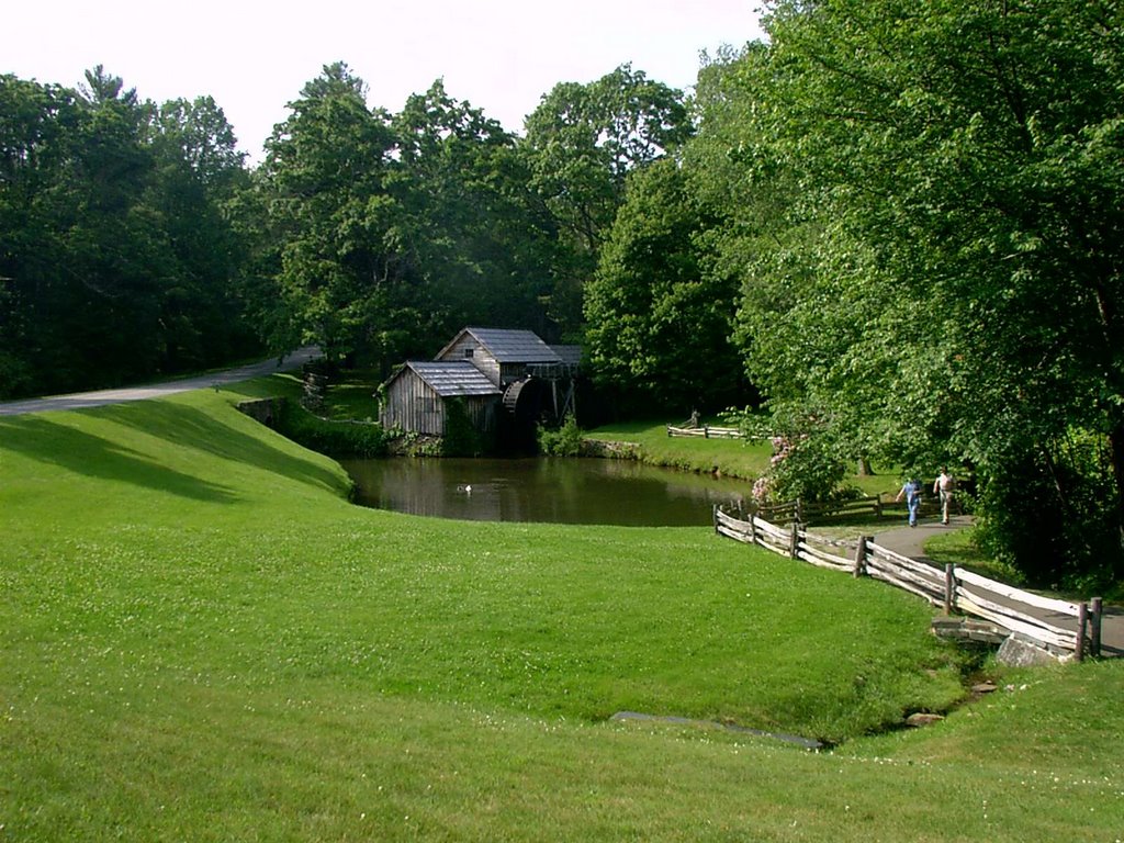
Getting back on the Parkway south of Roanoke in Fancy Gap, I was shocked at what it had become. It was "only" about 2500 feet in elevation, and in many places was a fairly straight country road past farms, people's backyards, etc.
 I was disappointed that I'd likely missed so much, but I still had 75 miles to my stop and it was already suppertime. I got to Roanoke and found out where they had gotten our rooms, and headed for the hotel. I missed dinner, so mom and I went for take out and a six-pack.
Tomorrow (Saturday) is the final leg.

1 comment:
Post a Comment